Travel Guide of Bribie Island in Australia by Influencers and Travelers
Bribie Island is the smallest and most northerly of three major sand islands forming the coastline sheltering the northern part of Moreton Bay, Queensland, Australia. The others are Moreton Island and North Stradbroke Island. Bribie Island is 34 kilometres long, and 8 kilometres at its widest.
Download the Travel Map of Australia on Google Maps here
Pictures and Stories of Bribie Island from Influencers
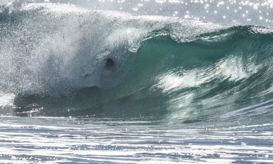
Picture from Tania Richardson who have traveled to Bribie Island
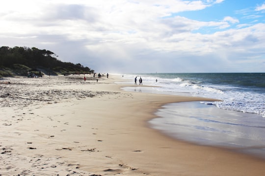
- Bribie Island, Woorim Beach, water. ...click to read more
- Experienced by @Tania Richardson | ©Unsplash
Plan your trip in Bribie Island with AI 🤖 🗺
Roadtrips.ai is a AI powered trip planner that you can use to generate a customized trip itinerary for any destination in Australia in just one clickJust write your activities preferences, budget and number of days travelling and our artificial intelligence will do the rest for you
👉 Use the AI Trip Planner
The Best Things to Do and Visit around Bribie Island
Disover the best Instagram Spots around Bribie Island here
1 - Pumicestone Channel
8 km away
Pumicestone Channel, also known as the Pumicestone Passage, is a narrow waterway between Bribie Island and the mainland in Queensland, Australia. The northern extent of the passage is at Caloundra, while at the south is Deception Bay. The waterway is a two way tidal estuary that has 11 creeks flowing into it. At each end of the passage the channels are the deepest and widest.
View on Google Maps Book this experience
2 - Glass House Mountains
20 km away
Glass House Mountains is a hinterland town and locality of the Sunshine Coast Region, Queensland, Australia, named after the famous Glass House Mountains of the area. Colloquially it is often known simply as "Glasshouse". At the 2016 census, Glass House Mountains had a population of 5,065.
Learn more
3 - Australia Zoo
24 km away
Australia Zoo is a 1,000-acre zoo located in the Australian state of Queensland on the Sunshine Coast near Beerwah/Glass House Mountains.
Learn more Book this experience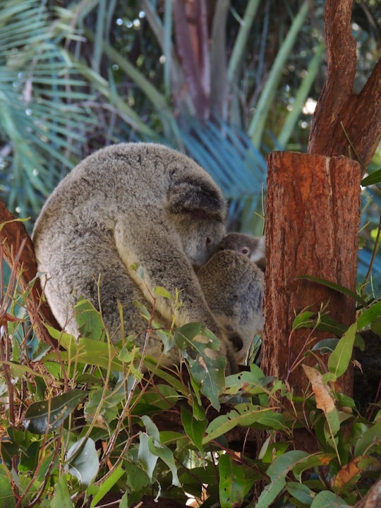

4 - Glass House Mountains Lookout
24 km away
D'Aguilar is a national park in Queensland, Australia. It contains the D'Aguilar Range and is located along the northwest of the Brisbane metropolitan area. The park is traversed by the winding scenic Mount Nebo Road and Mount Glorious Road.
Learn more Book this experience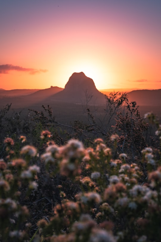
5 - Mount Beerwah
26 km away
Mount Beerwah is the highest of the ten volcanic plugs in the Glass House Mountains range, 22 km north of Caboolture in South East Queensland, Australia. It was formed 26 million years ago during the Oligocene Epoch of the Paleogene Period. Geologists estimate it may have been three times the height before it was eroded to a volcanic plug. Mount Beerwah has two peaks, the taller of which is 556 metres high. It is one of the most visually prominent mountains in south-east Queensland. The first European settlers to ascend the peak were Andrew Petrie with his son John Petrie. Its name comes from the Dungidau language words "birra, or "sky," and "wandum," "climbing up."
Learn more Book this experience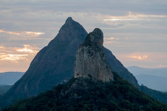

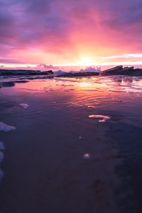
6 - Mooloolaba
34 km away
Mooloolaba is a coastal suburb of Maroochydore in the Sunshine Coast Region, Queensland, Australia. It is located 97 kilometres north of the state capital, Brisbane, and is part of the Maroochydore urban centre.
Learn more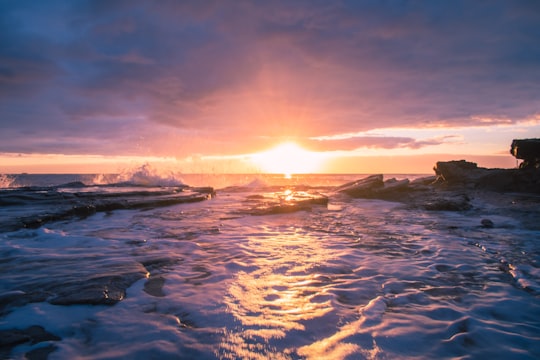
7 - Mooloolaba Beach
34 km away
Learn more
8 - Sunshine Coast
38 km away
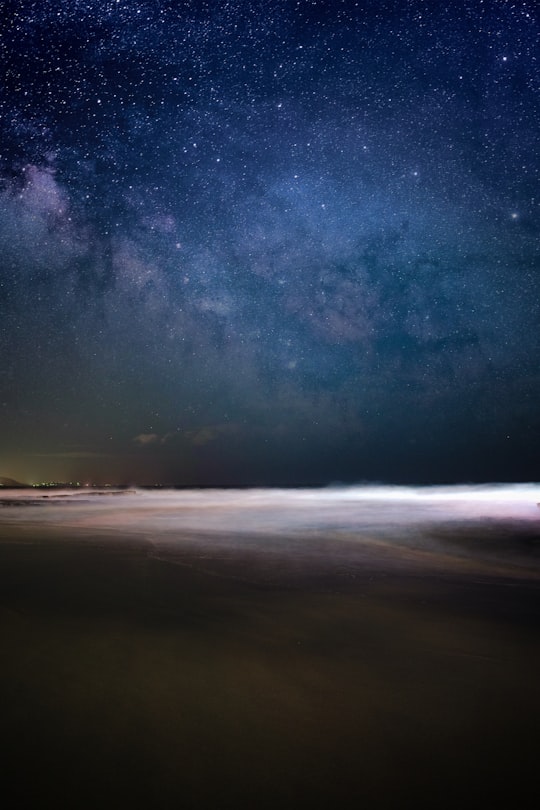
Sunshine Coast is a peri-urban area and the third most populated area in the Australian state of Queensland. Located 100 km north of the centre of Brisbane in South East Queensland, on the Coral Sea coastline, its urban area spans approximately 60 km of coastline and hinterland from Pelican Waters to Tewantin.
Learn more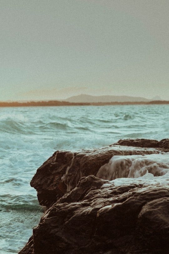
9 - Flaxton
45 km away
Flaxton is a rural locality in the Sunshine Coast Region, Queensland, Australia. In the 2016 census, Flaxton had a population of 931 people.
Learn more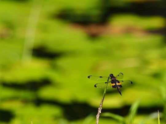
Book Tours and Activities in Bribie Island
Discover the best tours and activities around Bribie Island, Australia and book your travel experience today with our booking partners
Where to Stay near Bribie Island
Discover the best hotels around Bribie Island, Australia and book your stay today with our booking partner booking.com
More Travel spots to explore around Bribie Island
Click on the pictures to learn more about the places and to get directions
Discover more travel spots to explore around Bribie Island
🏖️ Beach spotsTravel map of Bribie Island
Explore popular touristic places around Bribie Island
Download On Google Maps 🗺️📲